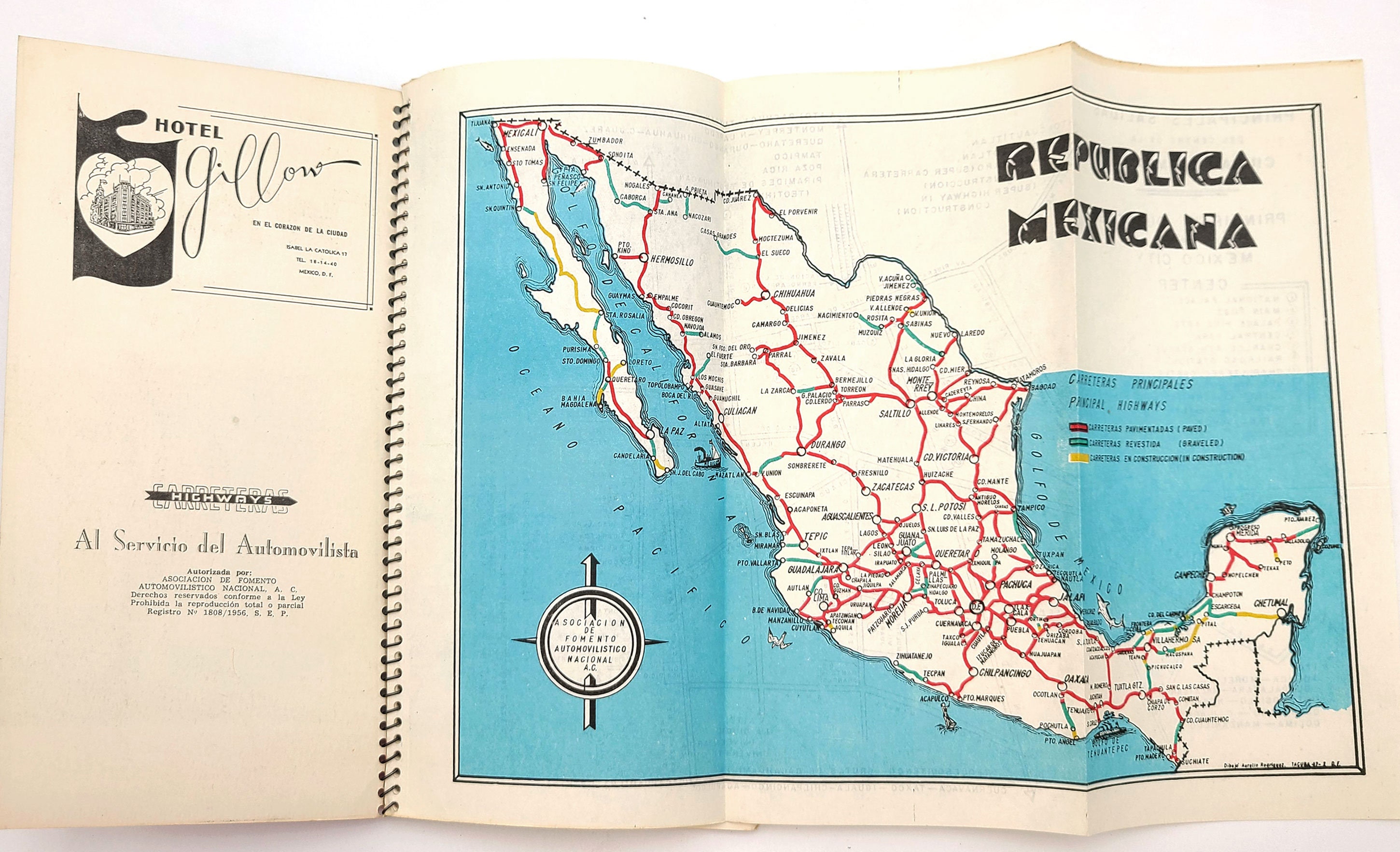
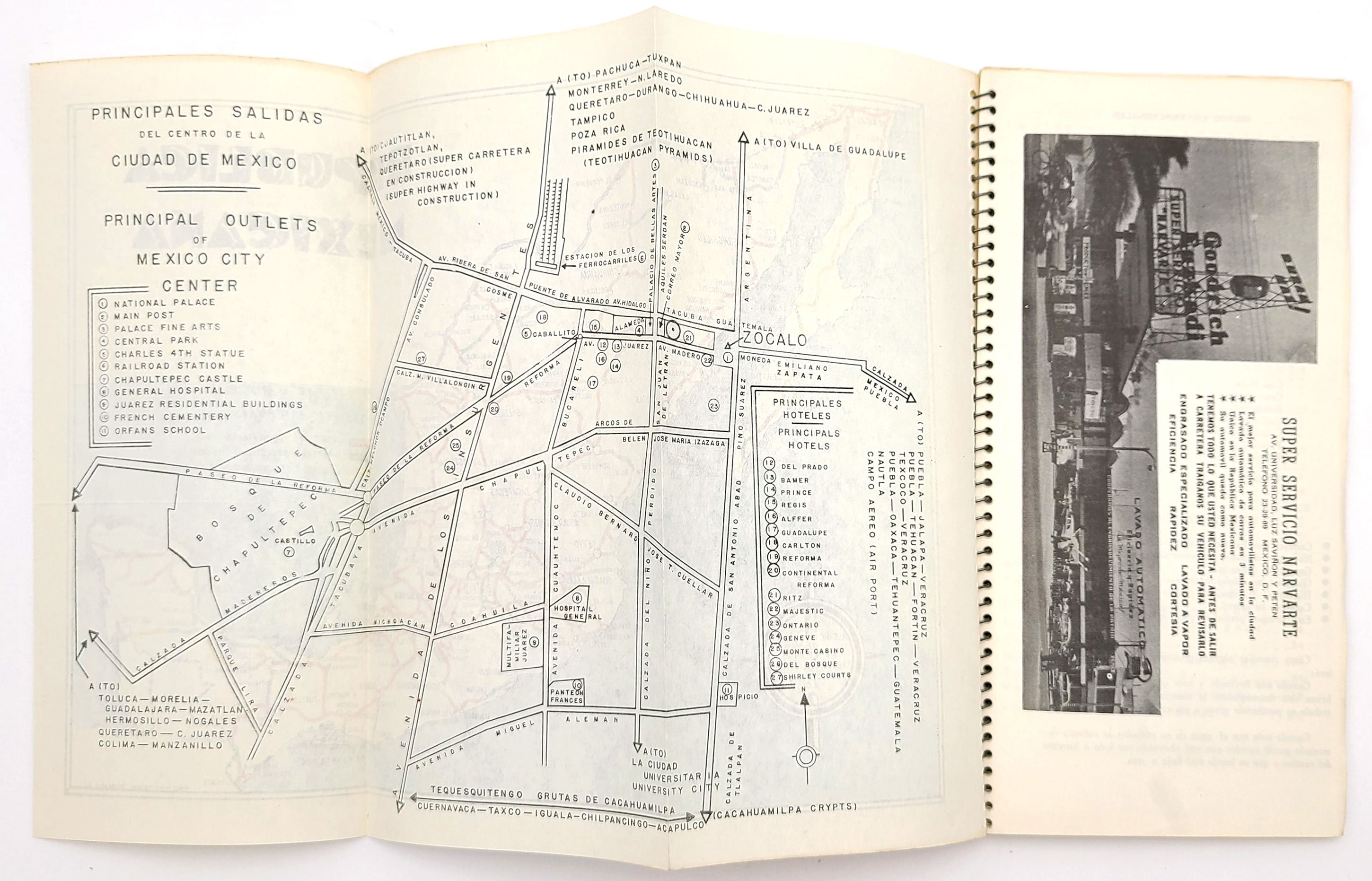
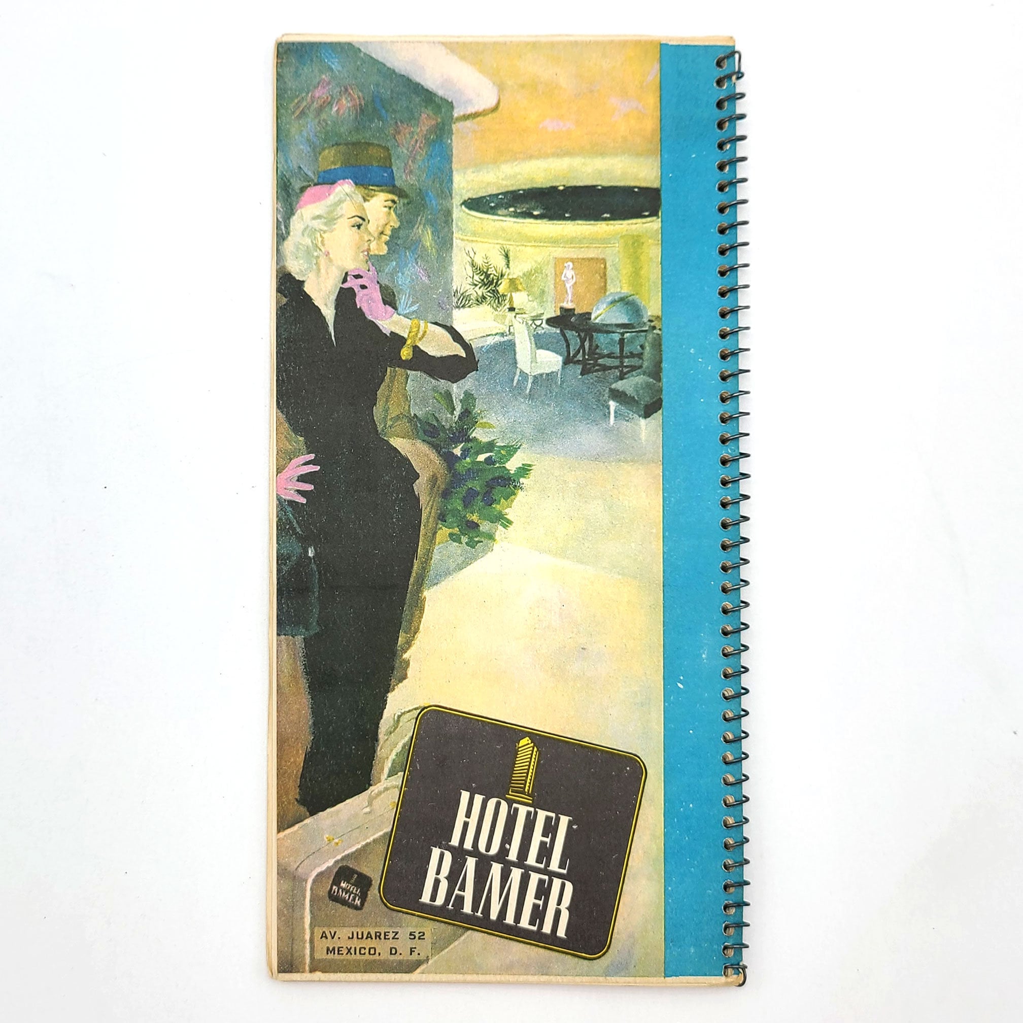
Carreteras / Highways Mexico 1956 Scarce vintage travel maps/tourist hotel guide
$50.00
Title: Carreteras / Highways Mexico [road maps]
Author: [Asociacion de Fomento Automovilistico Nacional]
Description: Mexican highway travel maps from 1956 [Edicion C]. Sprial-wire bound in printed card covers. Faint general soiling to covers. Internally clean and unmarked. [55] pages with a fold-out map of Mexico/Mexico City. 22.7 x 11.6 cm. Scarce. One copy noted on OCLC (Yale).
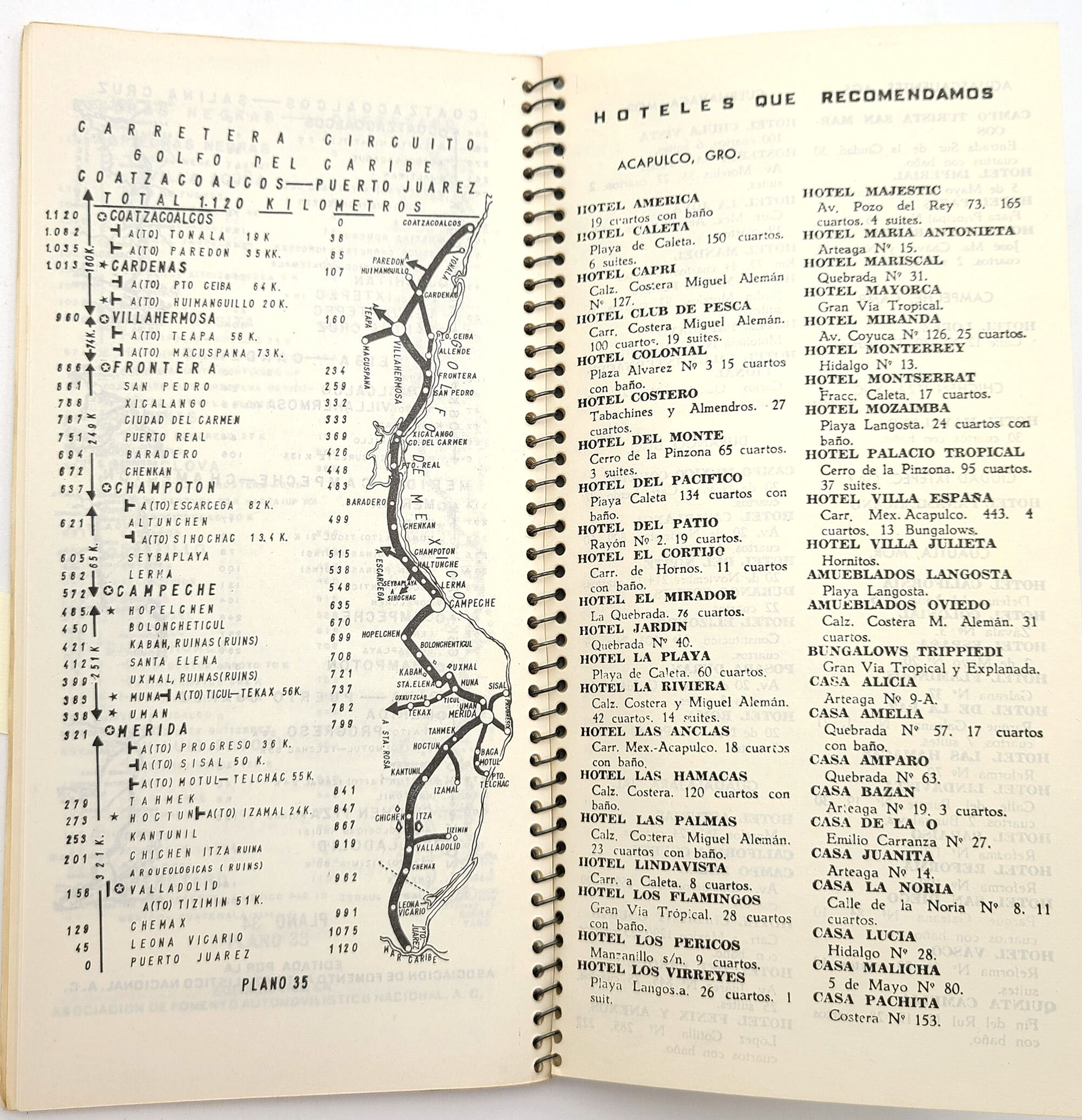
Vintage booklet of Mexican highway maps with a vibrant and fun cover illustration. Presents 35 maps showing more than a dozen major highway routes, noting cities and towns along the way and, giving cumulative kilometer readings at each locale (going both ways). Also includes a list of nearly 200 recommended hotels along routes. A few pages of advertising.
Routes:
[1] Juarez - Mexico City. - Guatemala.
[2] Mexico City - Guadalajara - Nogales.
[3] Mexico City - Nuevo Laredo.
[4] Mexico City - Puebla - Jalapa - Veracruz.
[5] Mexico City - Puebla - Orizaba - Veracruz.
[6] Mexico City - Texcoco - Veracruz.
[7] Mexico City - Puebla - Nautla - Poza Rica.
[8] Mexico City - Pachuca -Tuxpan.
[9] Mexico City - Acapulco (Carretera Federal).
[10] Mexico City - Acapulco (Super Carretera).
[11] Matamoros - Mazatlan.
[12] Tampico - Barra de Navidad.
[13] Piedras Negras - Queretaro.
[14] Coatzacoalcos - Salina Cruz.
[15] Ceiba - Cardenas.
[16] Merida - Campeche - Champoton.
[17] Merida - Puerto Juarez.
[18] Mexico City - Queretaro (Super Carretera).
[19] Coatzacoalcos - Puerto Juarez.
Binding: Wire spiral binding
Condition: Very Good
Publisher: Asociacion de Fomento Automovilistico Nacional
Place: [Mexico, D. F.]
Year: 1956
Language: Spanish
Keywords: travel, Central America, maps, 1950s, vintage,
Shipping from United States
Processing time
1 business day
Estimated shipping times
- North America : 3 - 5 business days
I'll do my best to meet these shipping estimates, but can't guarantee them. Actual delivery time will depend on the shipping method you choose.
Customs and import taxes
Buyers are responsible for any customs and import taxes that may apply. I'm not responsible for delays due to customs.


