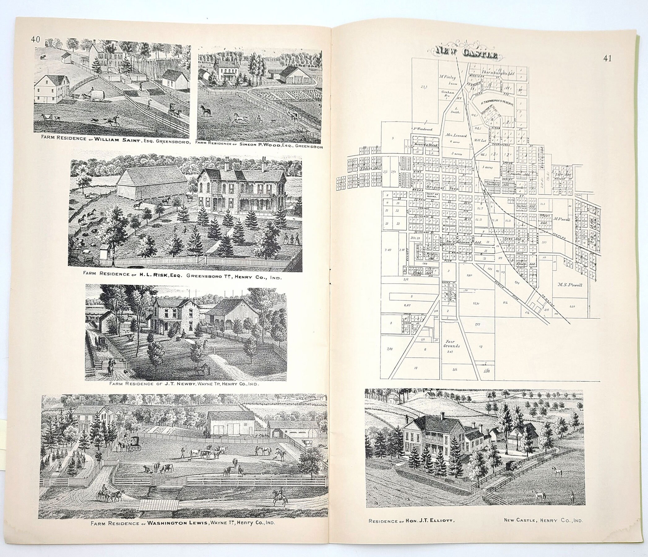
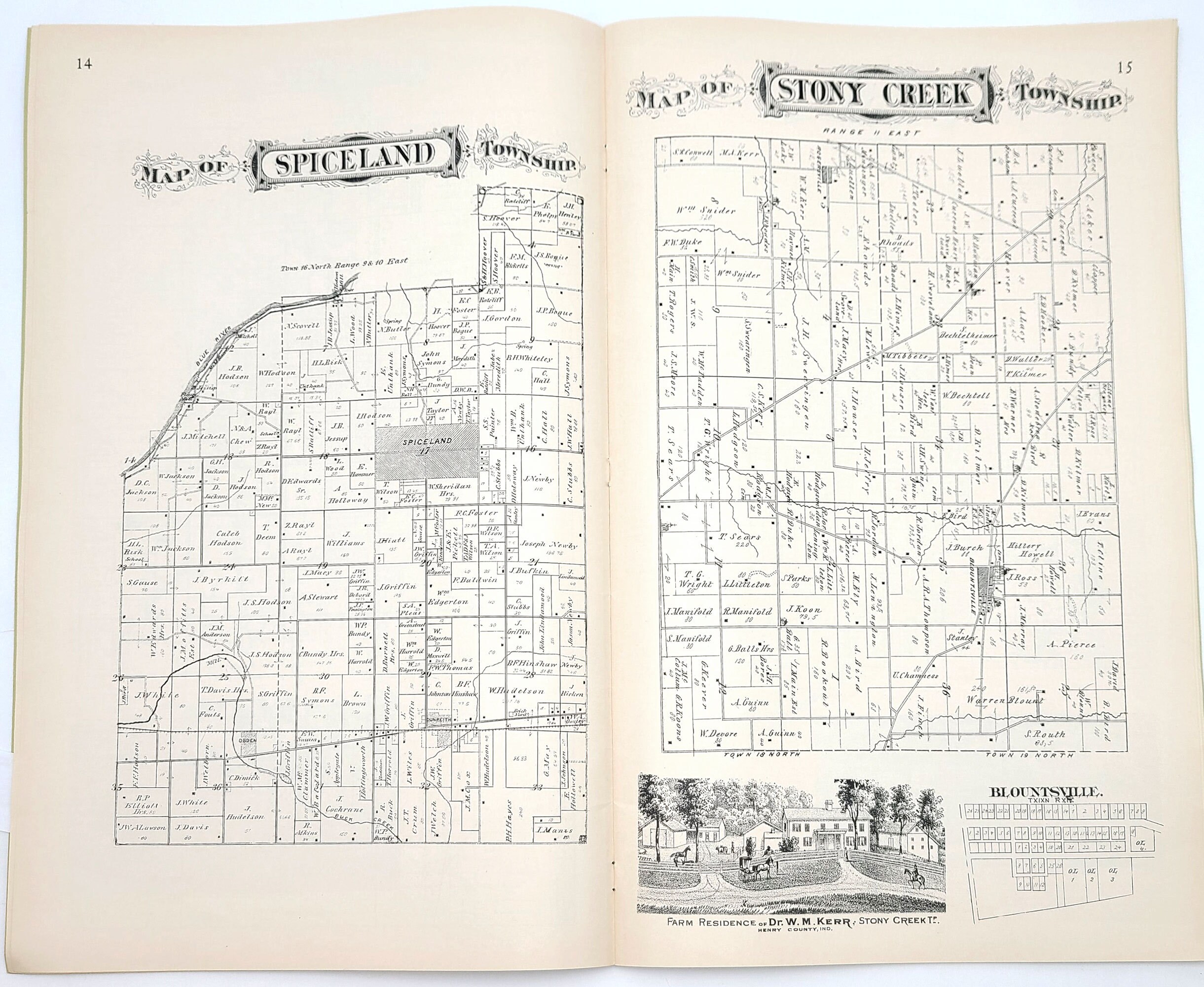
1875 Illustrated Historical Atlas of Henry County, Indiana ~ Property Maps ~ Genealogy ~ New Castle
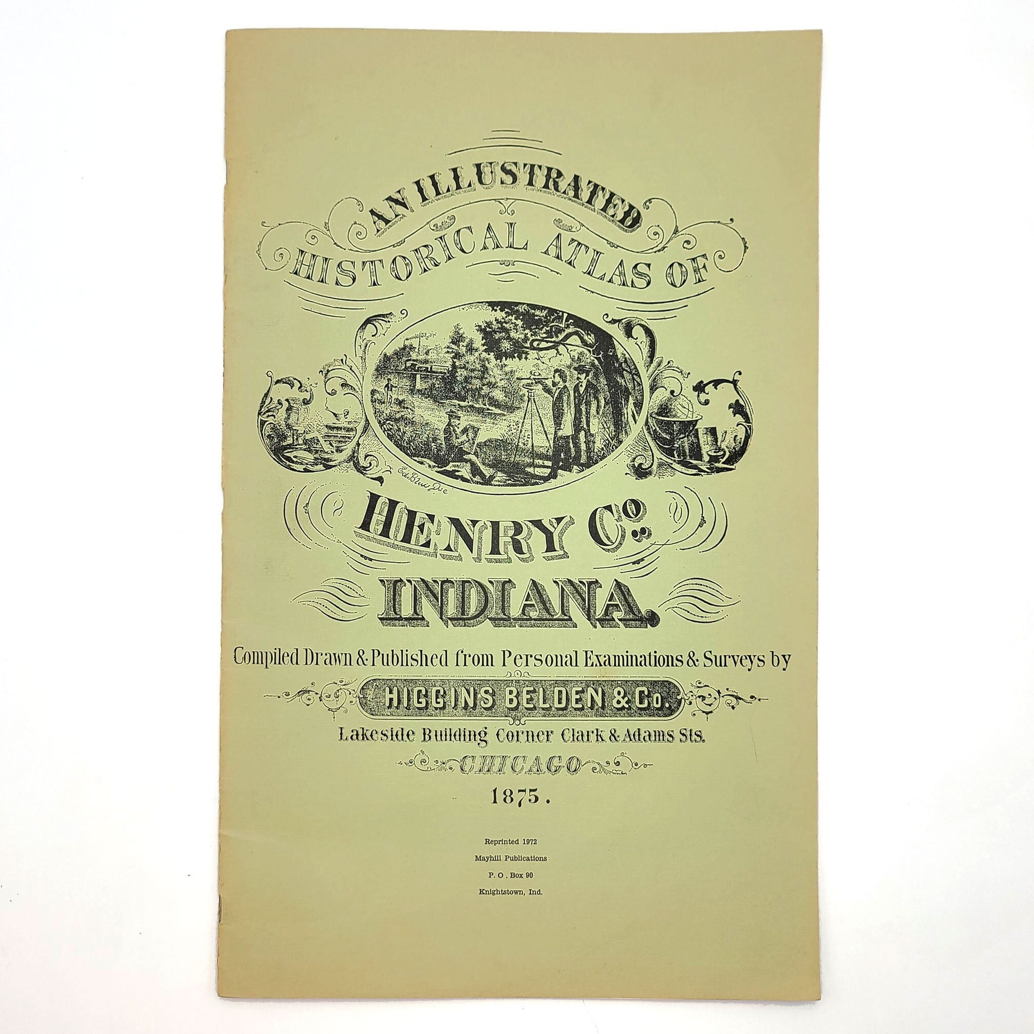
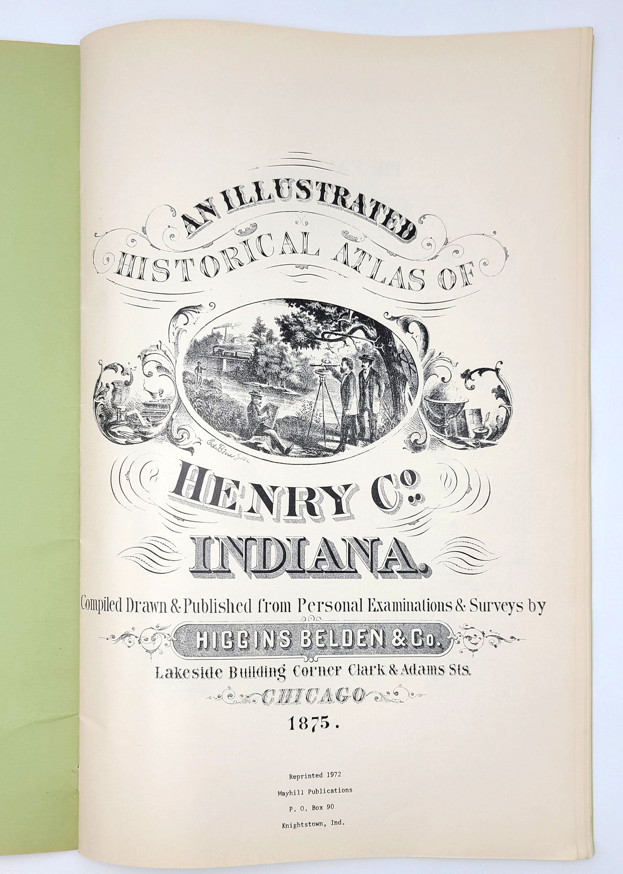
Title: An Illustrated Historical Atlas of Henry Co. [County] Indiana 1875
Author: Higgins Belden & Co.
Description: A 1972 reprint of the 1875 Illustrated Historical Atlas of Henry County, Indiana. A little fraying around the spine staples. Dampstain to the bottom corner of the last ten pages (not affecting any illustrations or maps), else the interior is clean and unmarked. 48 pages. Large format. 17.3 x 11.3 inches.
Contents:
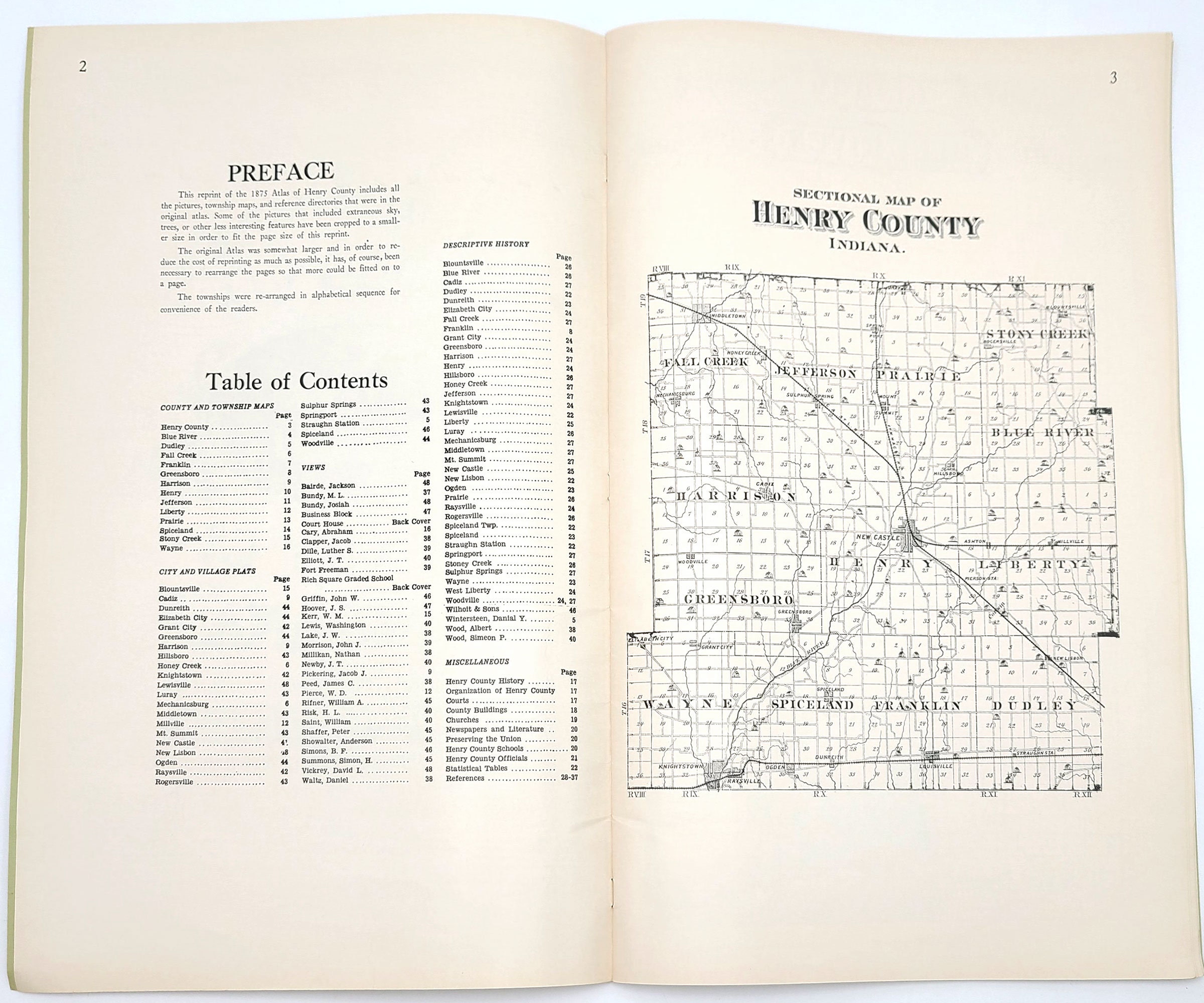
1) a sectional map of Henry County.
2) property maps for the following townships: Blue River, Dudley, Fall Creek, Franklin, Greensboro, Harrison, Henry, Jefferson, Liberty, Prairie, Spiceland, Stony Creek, and Wayne.
3) an eleven-page county history.
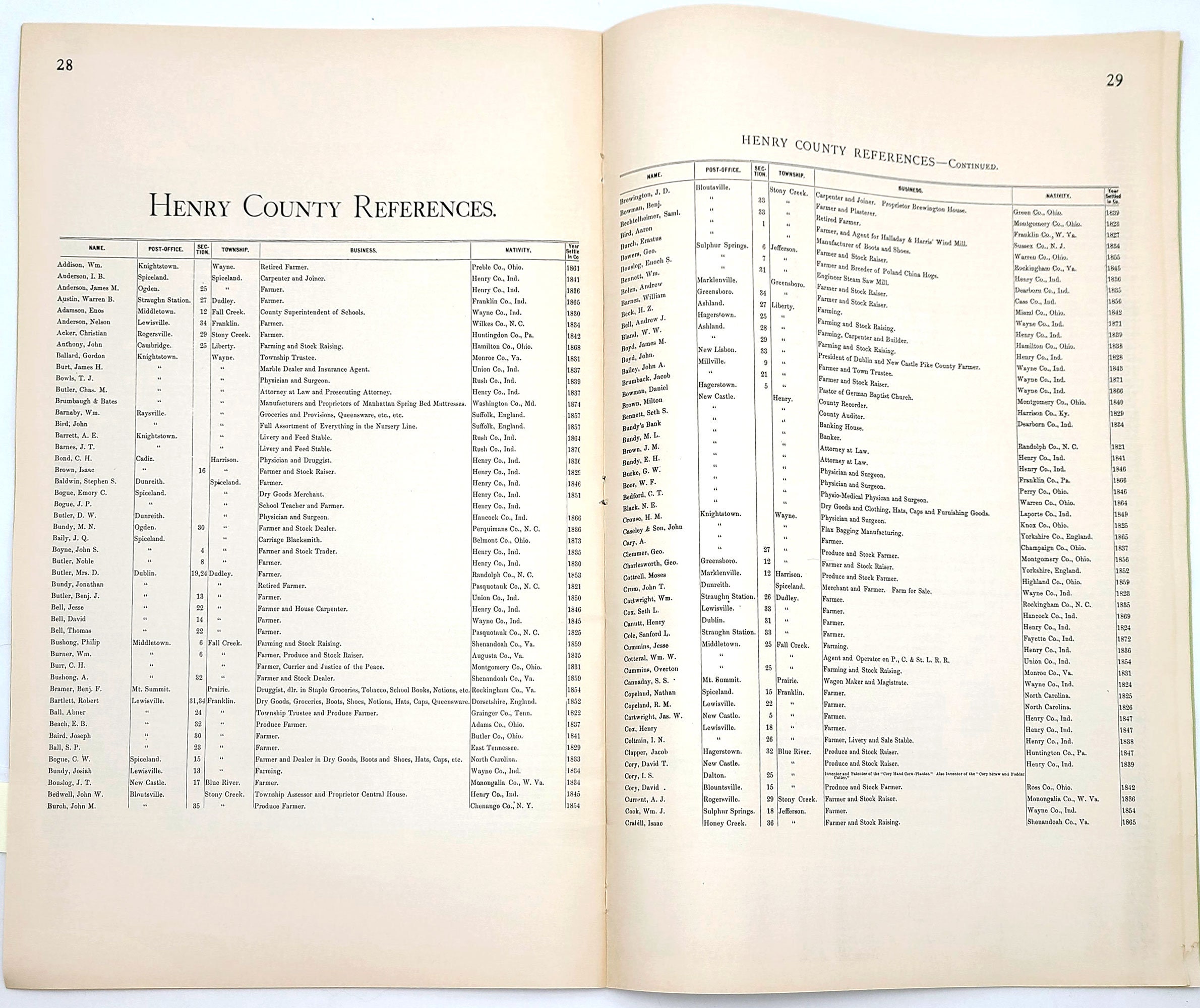
4) a ten-page alphabetical list of residents, noting their post-office, section and township, occupation, native county and state, and the year settled in Henry County.
5) twenty-nine engraved illustrations, resized from the original.
6) plat maps of the cities of Dunreith, New Castle, Greensboro, Knightstown, Middletown, New Lisbon, Ogden, and Spiceland, plus several smaller towns.
Binding: Soft cover
Condition: Very Good
Publisher: Mayhill Publications
Place: Knightstown, Ind.
Year: 1972
Keywords: maps, history, property maps, township, townships, plat maps, Blue River Township, Dudley Township, Fall Creek Township, Franklin Township, Greensboro Township, Harrison Township, Henry Township, Jefferson Township, Liberty Township, Prairie Township, Spiceland Township, Stony Creek Township, and Wayne Township,
Shipping from United States
Processing time
1 business day
Estimated shipping times
- North America : 3 - 5 business days
I'll do my best to meet these shipping estimates, but can't guarantee them. Actual delivery time will depend on the shipping method you choose.
Customs and import taxes
Buyers are responsible for any customs and import taxes that may apply. I'm not responsible for delays due to customs.

